
TrueCarbon

Digital MRV · Built for the field

Run carbon projects on verified data, not paper trails

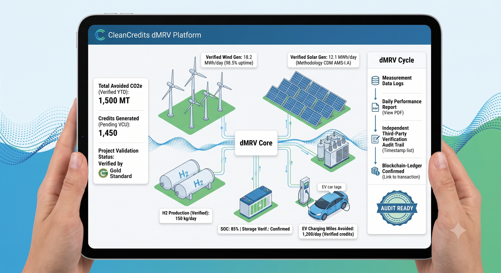
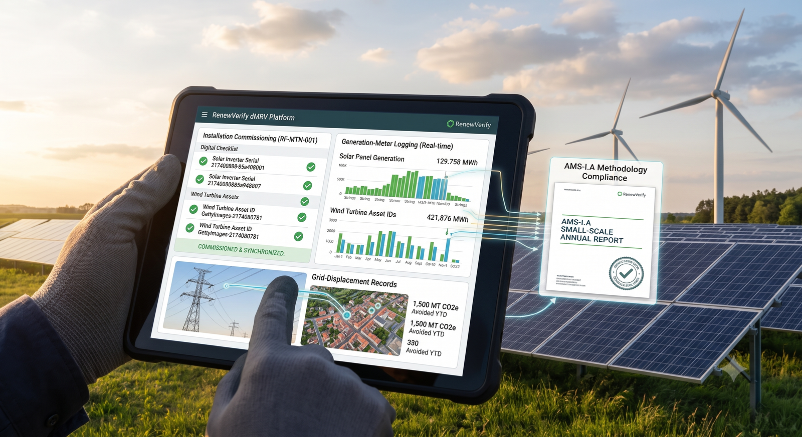
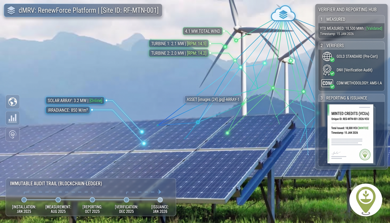
TrueCarbon is the dMRV platform that digitises your entire carbon programme — farmer registration, GPS plot mapping, photo evidence, approvals and registry-ready reports — across AWD rice, ARR, biochar, CBG and enhanced rock weathering.

AMS-III.AUVM0047VM0044Puro.earthIsometricAMS-III.HAR-ACM0003Gold StandardVerra VCSAMS-II.GVM0042VM0033VM0007VM0015AMS-I.AAMS-III.AUVM0047VM0044Puro.earthIsometricAMS-III.HAR-ACM0003Gold StandardVerra VCSAMS-II.GVM0042VM0033VM0007VM0015AMS-I.A
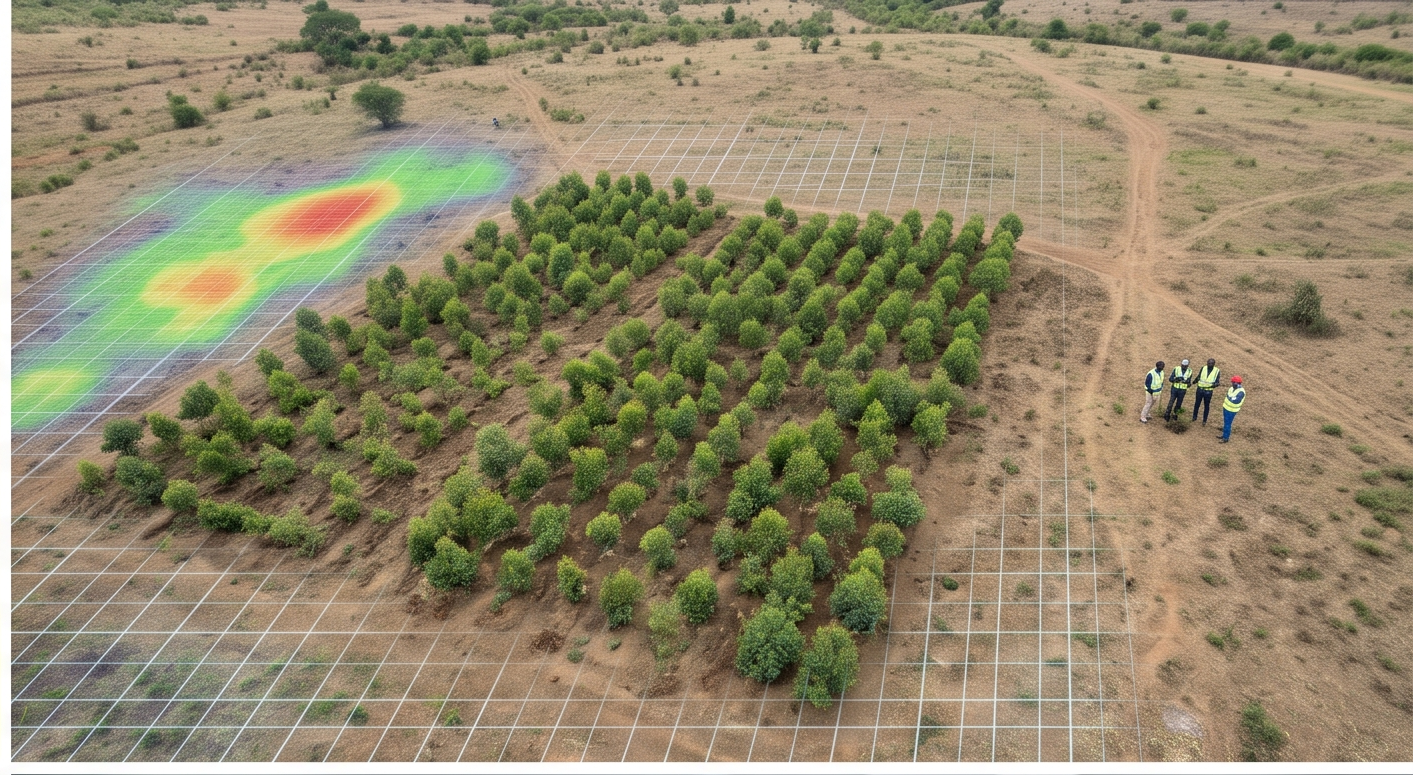
Aerial view of a green rice paddy field

Real fields, real evidence

See what digitising MRV actually changes for a credit

Faster verification cycles, less rework, evidence traceable to the exact field event — not just a paperless version of the same process.

See the impact

Paper MRV is where carbon credits go to die

Missing evidence, duplicate farmers, untraceable plots and months-long verification cycles erode the value of every credit you issue. Verifiers and buyers now expect a digital chain of evidence — from the field event to the registry report.

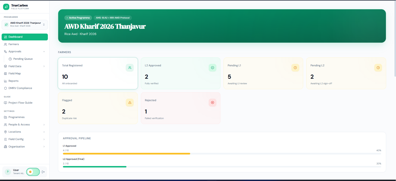
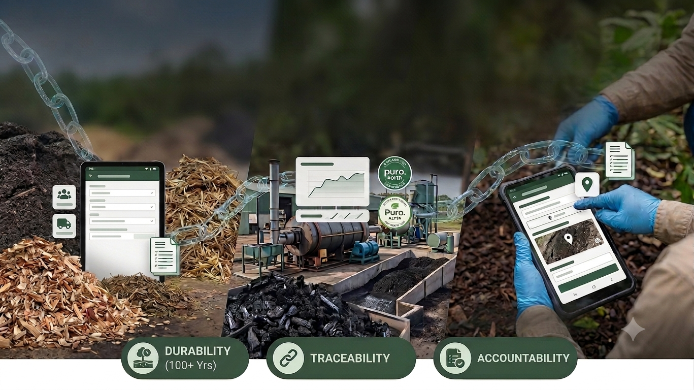
TrueCarbon gives your field teams, reviewers and programme managers one platform where every data point is GPS-verified, photo-evidenced, dual-approved and locked in an immutable audit trail.

See the full spreadsheets-vs-TrueCarbon comparison

  • GPS-verified everything

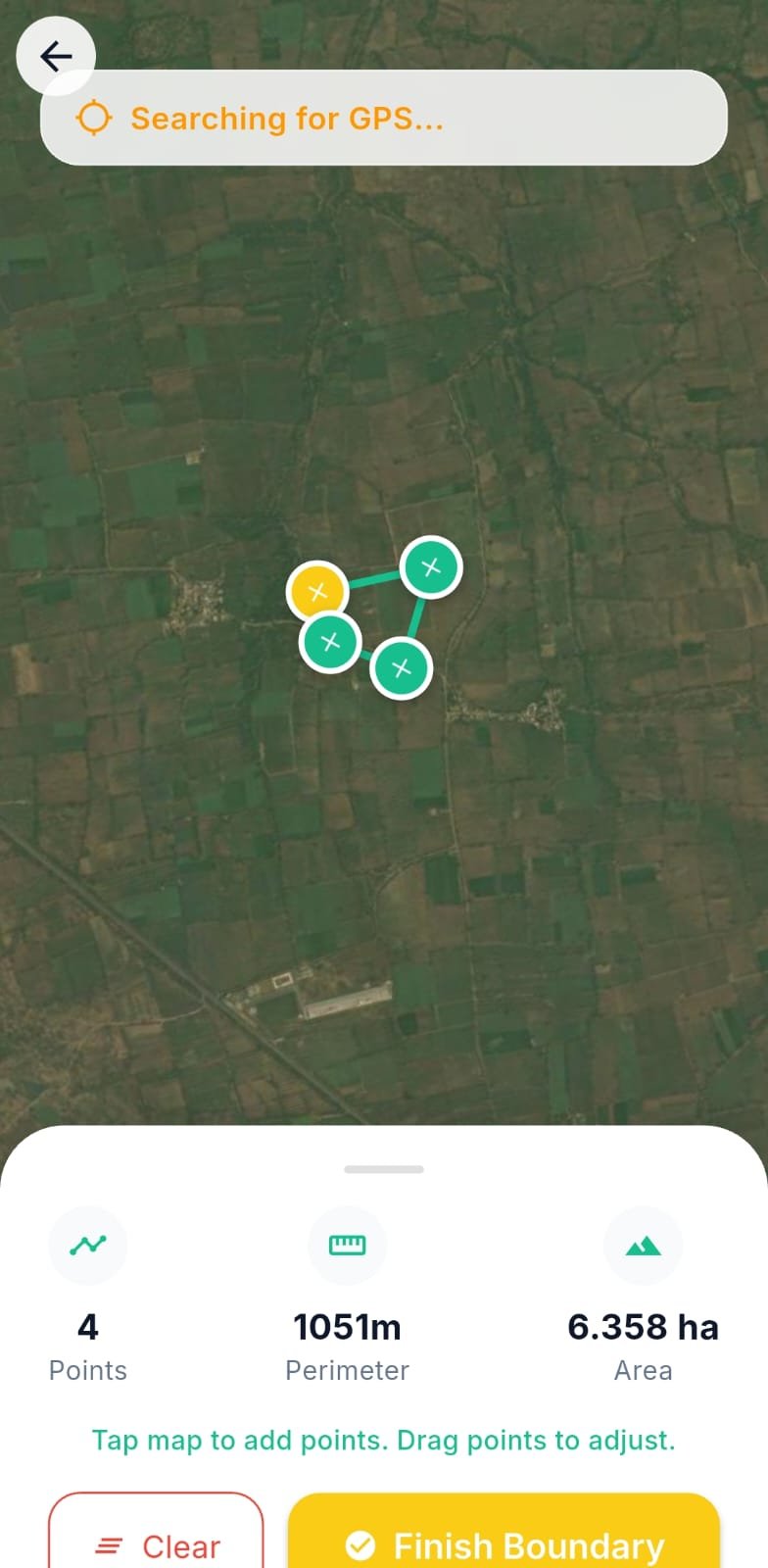
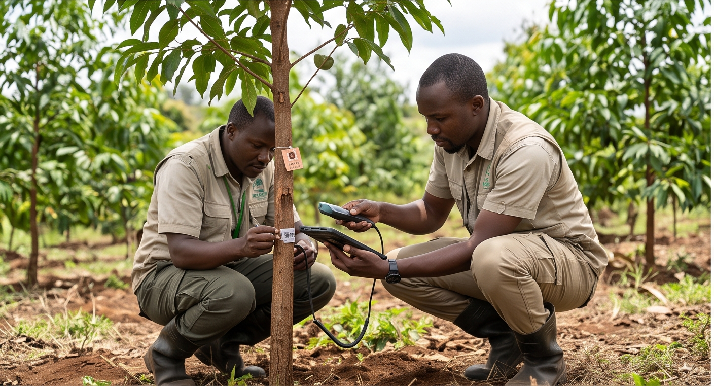
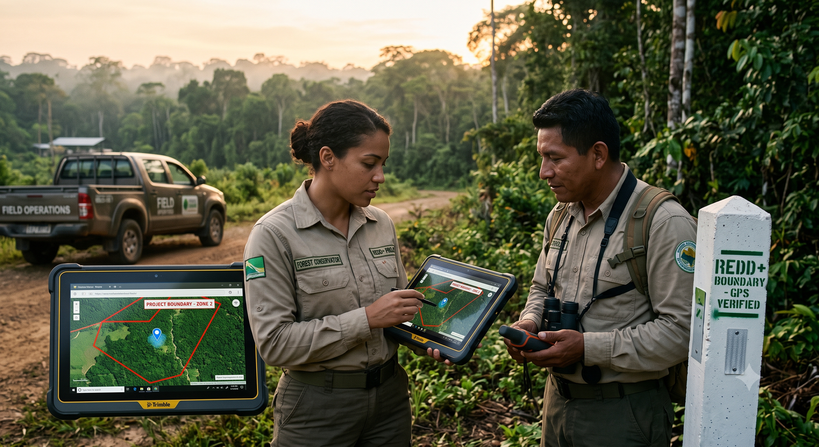
    Plots, pipes, photos and sampling points all carry validated coordinates.

  • Fraud-resistant by design

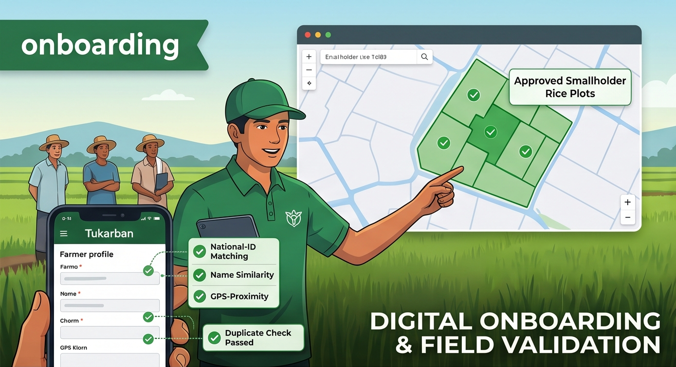
    Duplicate detection, geometry checks and in-app-only photo capture.

  • L1/L2 approval workflow

    Two-level review before any record counts, logged immutably.

  • Registry-ready exports

    Excel, CSV and GeoJSON reports your verifier can work with directly.

Solutions

One platform, every methodology

TrueCarbon's configurable field schema adapts to each project type — the same rigorous evidence engine underneath.

AMS-III.AU · Gold Standard · IRRI protocols

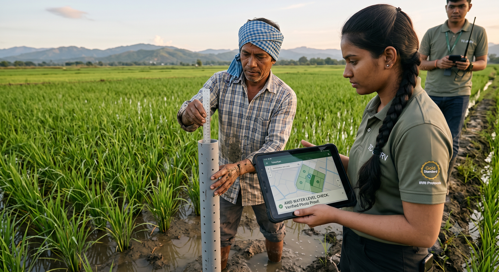
AWD Rice Cultivation

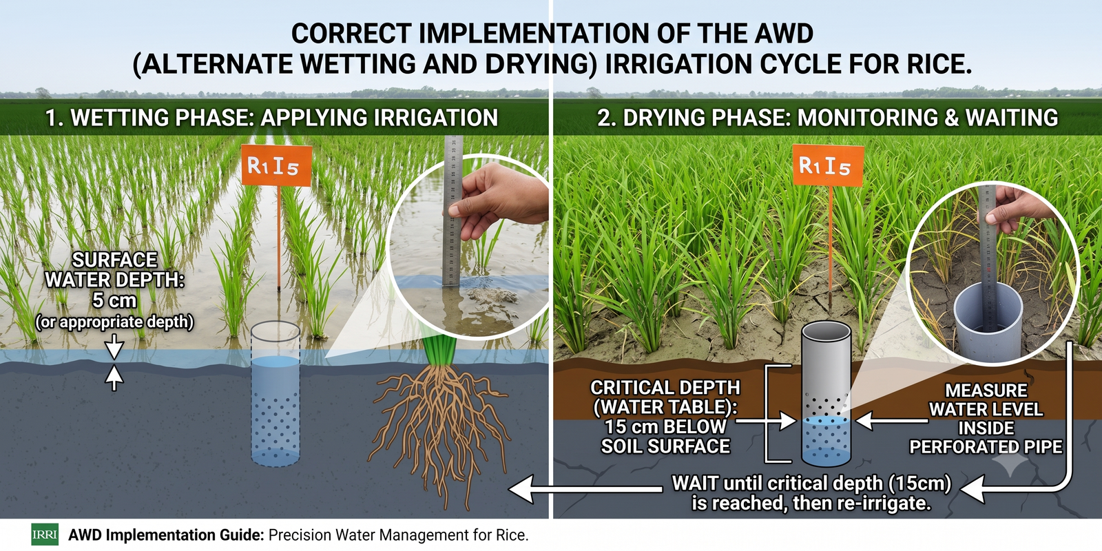
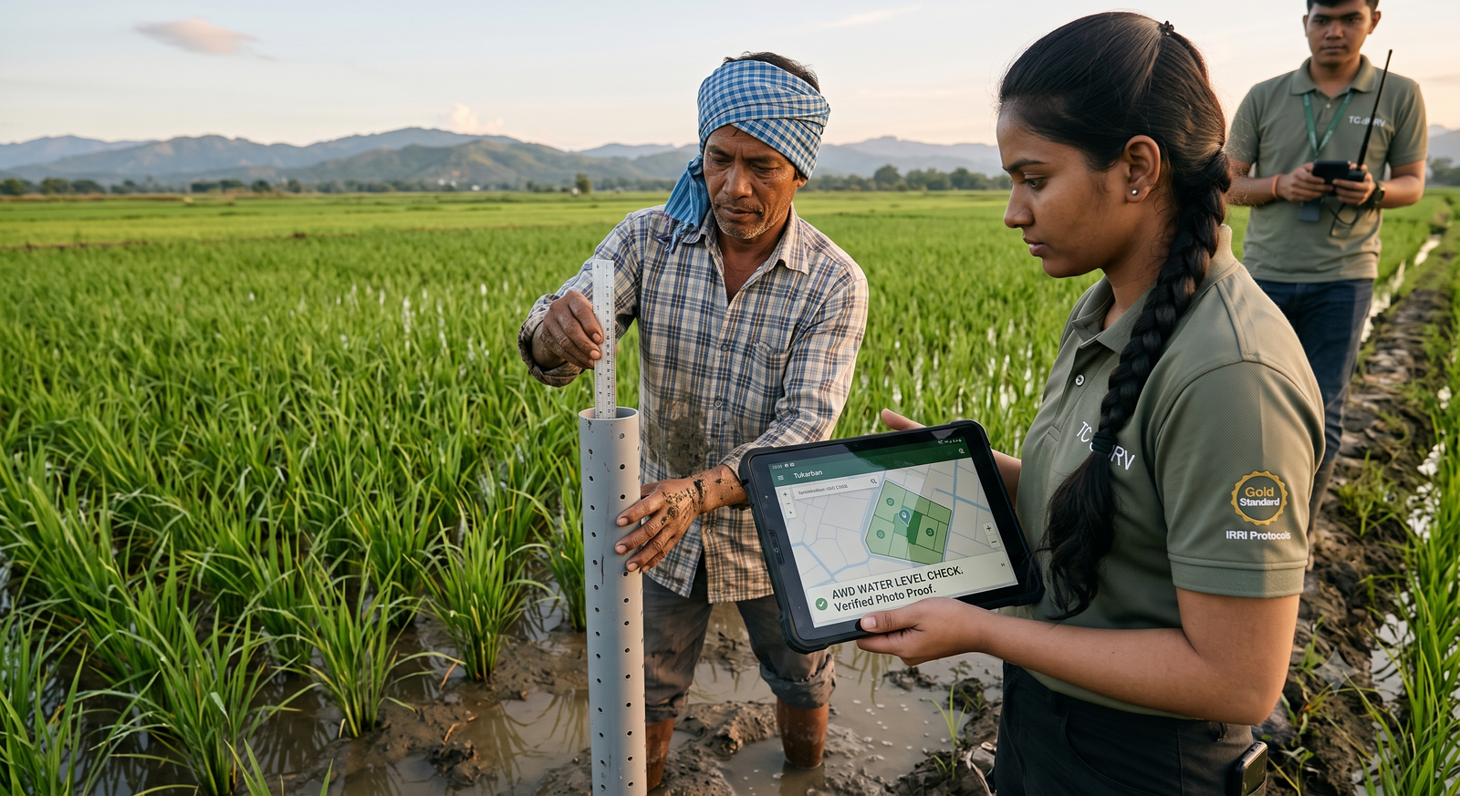
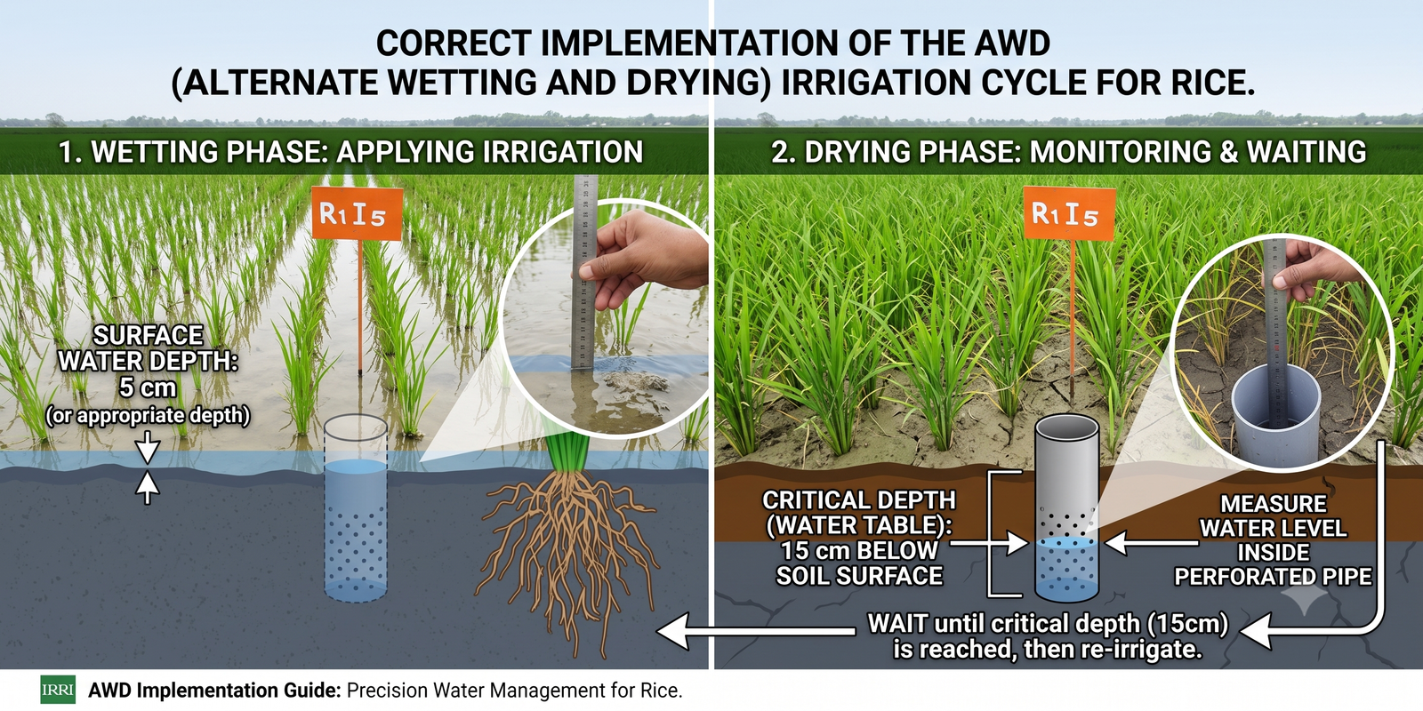
Digitise Alternate Wetting & Drying programmes end-to-end — farmer onboarding, plot boundaries, pipe installation and water-level events — with GPS-verified evidence at every step.

Explore AWD Rice dMRV
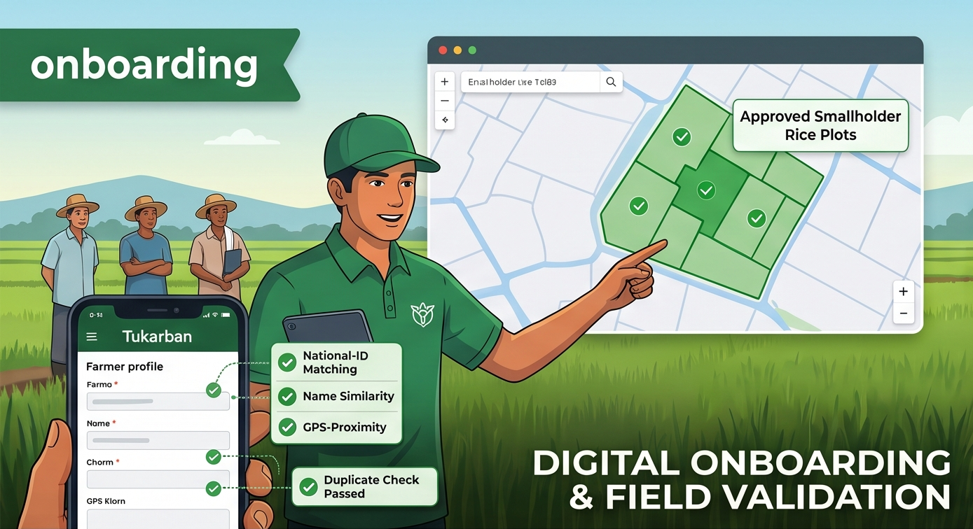
  • Farmer registration with duplicate detection

  • GPS plot boundaries with overlap protection

  • Pipe installation with spacing rules

  • Water-level events with photo proof

  • 10+ dMRV methodologies supported
  • 100% of evidence GPS-verified
  • levels of approval on every record
  • 24h max photo age accepted

From field to registry in four steps

01

Configure

Define your programme's forms, validations and approval rules — no code, just the fieldSchema editor.

02

Collect

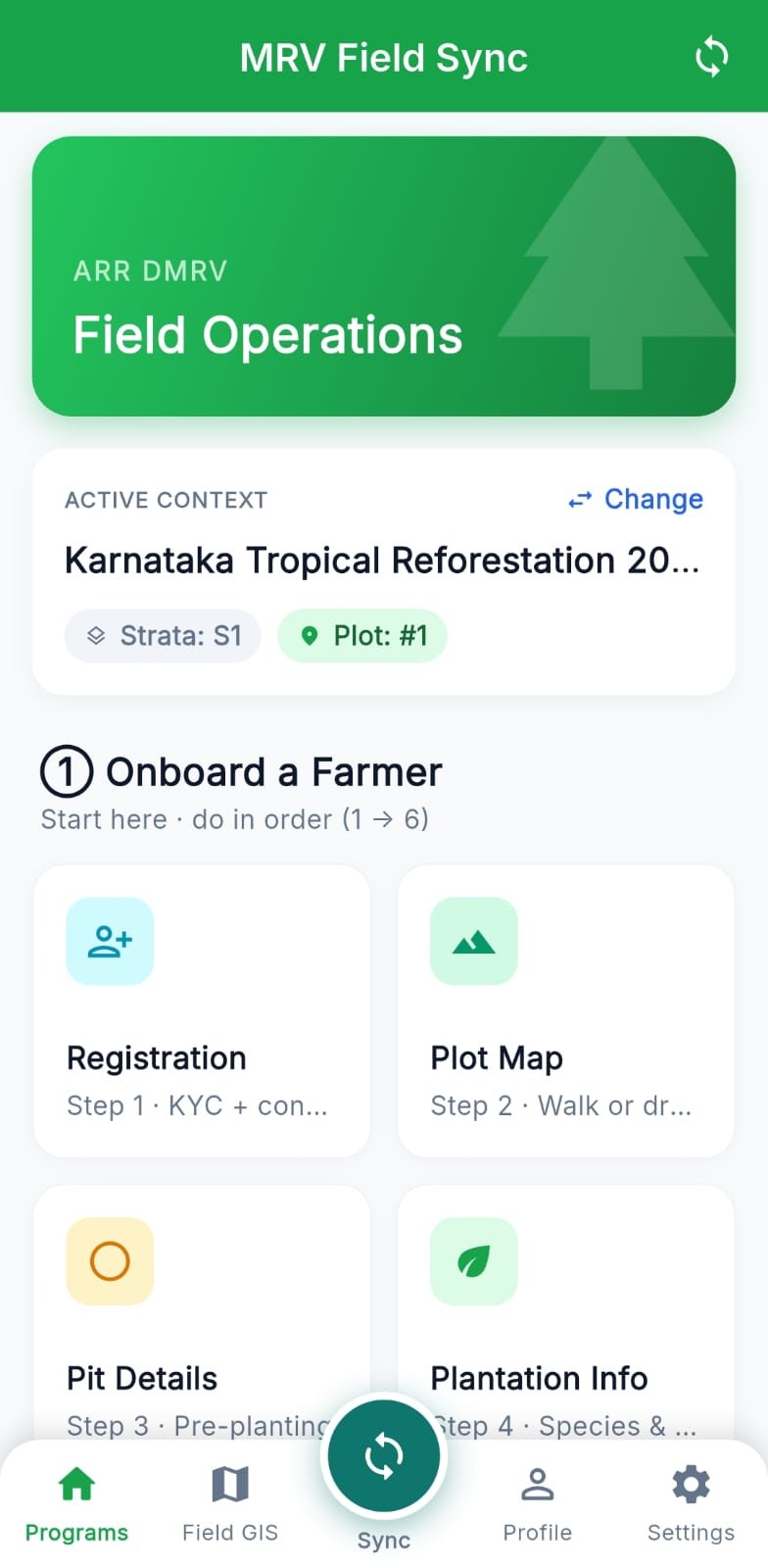
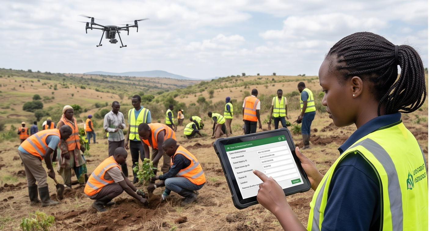
Field teams register farmers, map plots and log events on the offline-first mobile app with GPS-locked photos.

03

Approve

L1 supervisors and L2 reviewers validate every record; each decision lands in an immutable audit trail.

04

Report

Export verifier-ready Excel, CSV and GeoJSON — every number traceable back to a field event.

What could your programme generate?

Get a rough, ballpark credit range for your methodology in under a minute — not a correct calculation, a starting point.

Try the Estimator

Frequently asked questions

What is a dMRV platform?

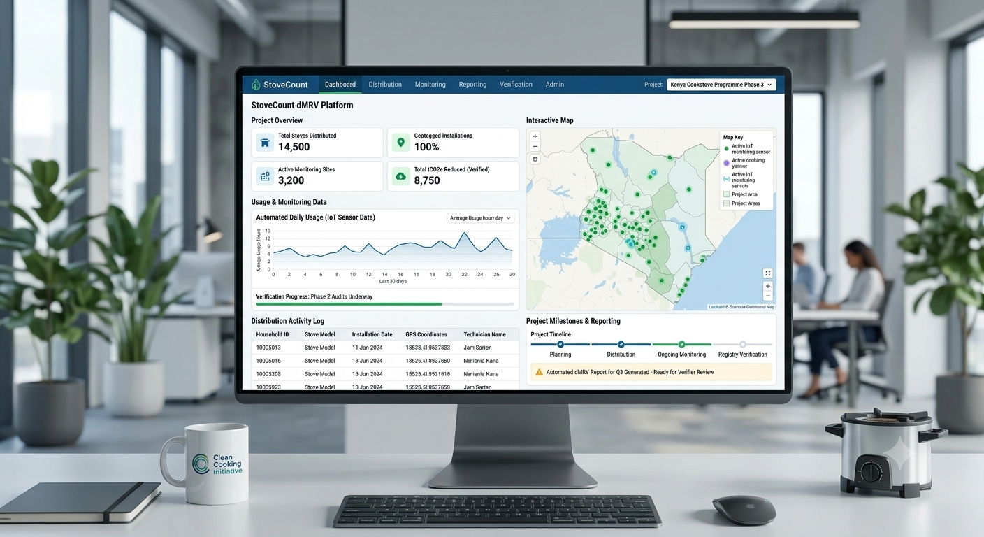
dMRV stands for digital Measurement, Reporting and Verification. A dMRV platform replaces paper-based carbon project data collection with GPS-verified digital records, photo evidence, approval workflows and audit trails — so credits can be verified faster and with more confidence.

Which carbon project types does TrueCarbon support?

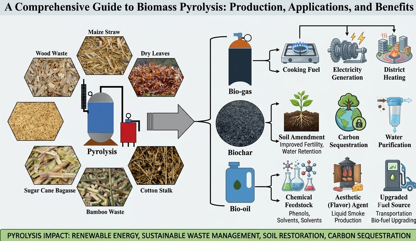
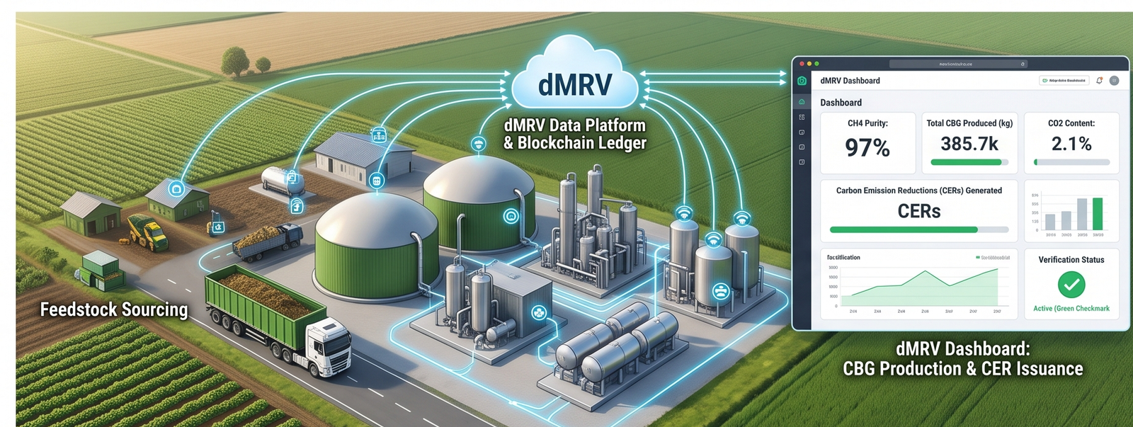
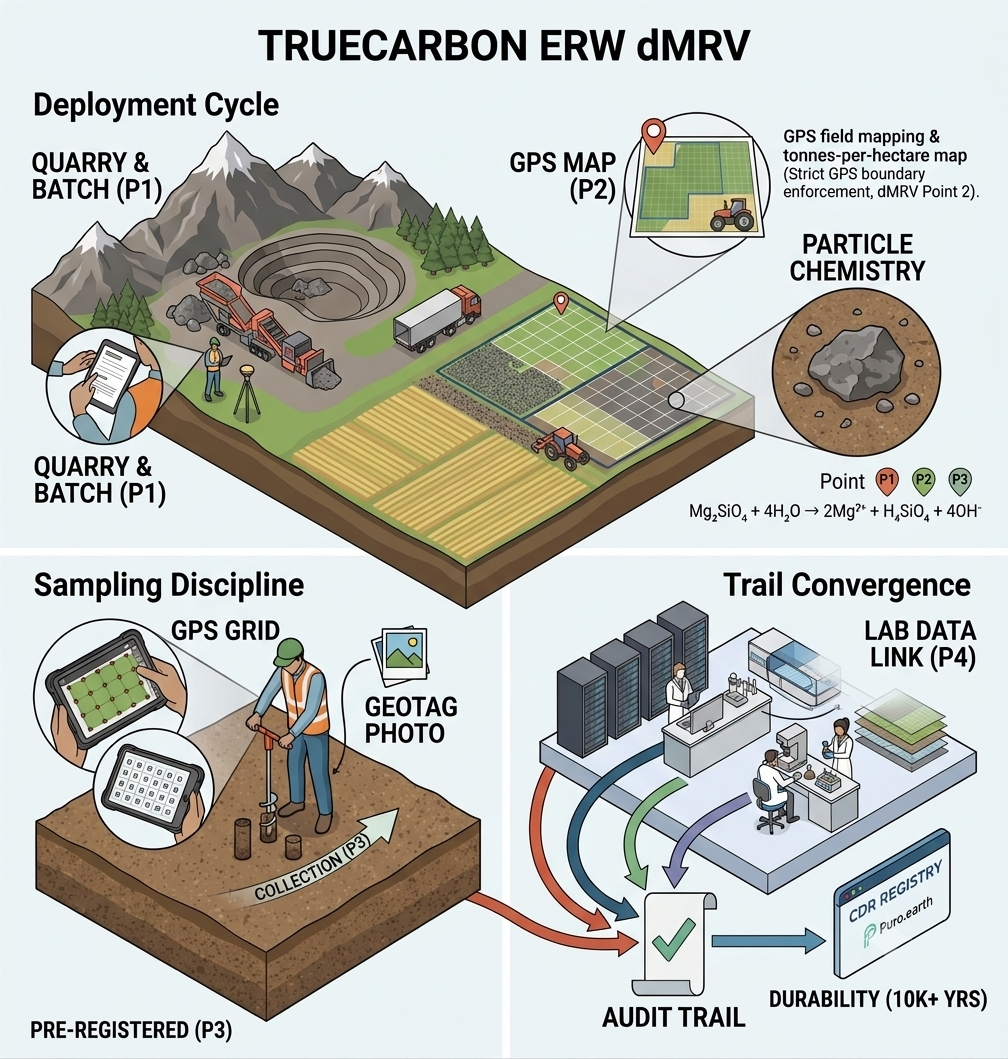
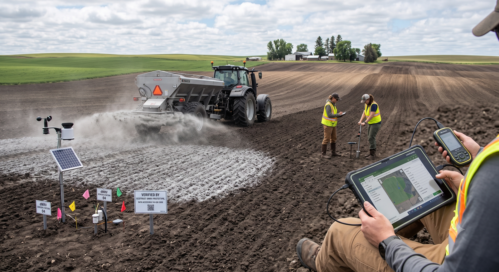
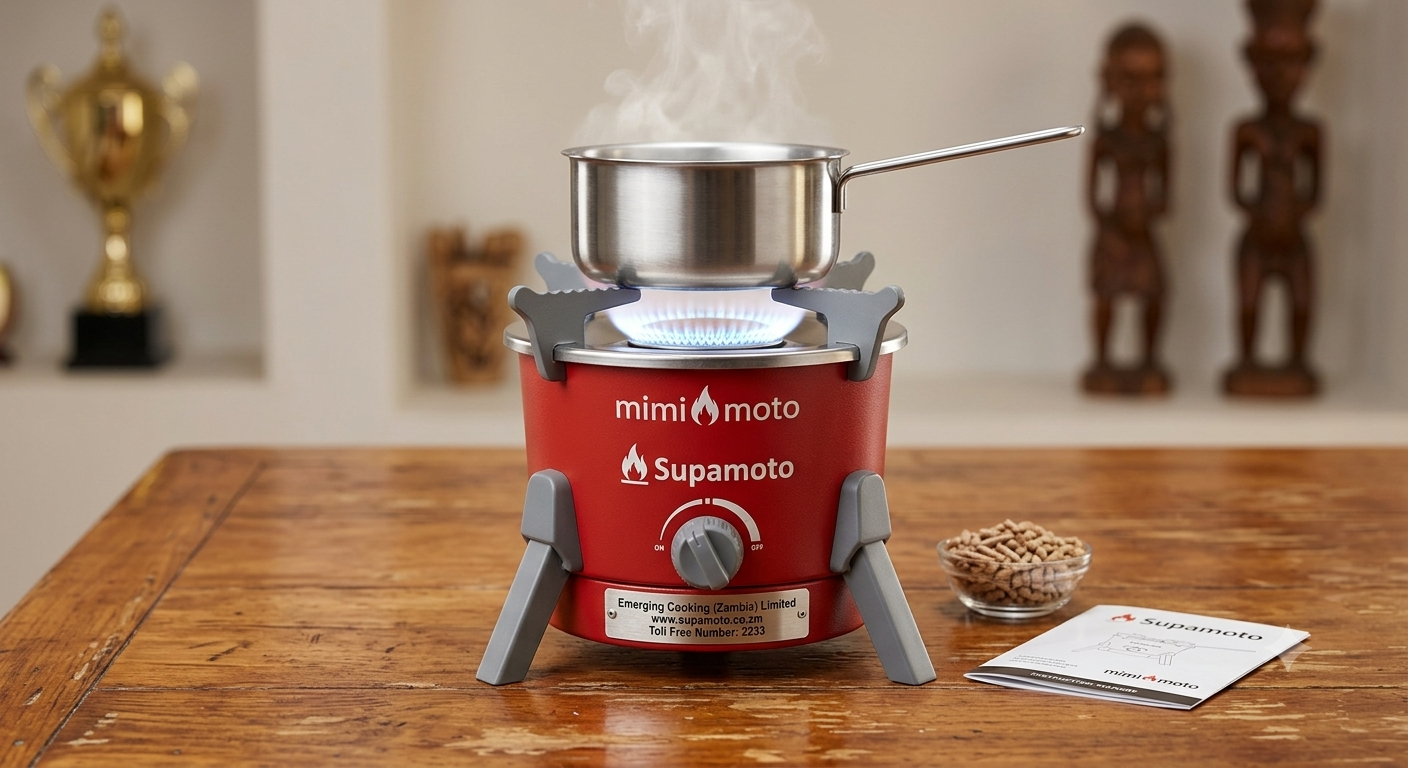
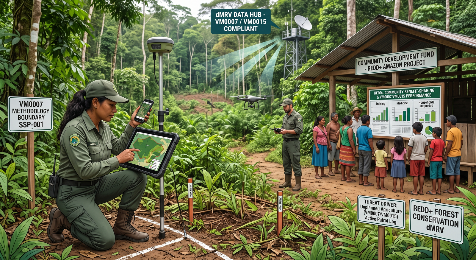
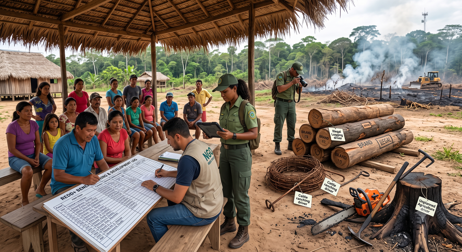
TrueCarbon supports AWD rice cultivation, afforestation/reforestation (ARR), biochar, compressed biogas (CBG) and enhanced rock weathering (ERW) today, with REDD+, soil organic carbon, clean cookstoves, blue carbon and renewable energy in the pipeline.

Does TrueCarbon work offline in remote field areas?

Yes. The TrueCarbon mobile app is offline-first — field teams collect data without connectivity and sync automatically when back in network coverage.

How does TrueCarbon prevent fraudulent field data?

Photos must be captured in-app with GPS lock before the camera opens, EXIF GPS data is validated server-side, duplicate farmers are auto-flagged, plot overlaps are rejected geometrically, and every approval is written to an immutable audit trail.

Ready to digitise your carbon programme?

See how TrueCarbon fits your methodology in a 30-minute walkthrough with our team.

or write to presales@ctgs.in

Chat with us
Book a Demo