

Configure
Set your methodology, field forms, GPS validation thresholds, approval rules and compliance requirements — no code, just the fieldSchema editor.
AWD Rice · Field schema
TrueCarbon digitises the complete carbon project lifecycle — from farmer onboarding and GPS plot mapping to geo-tagged field evidence, multi-level approvals, compliance workflows and registry-ready reporting.
Live productField map · live boundaries
Illustrative


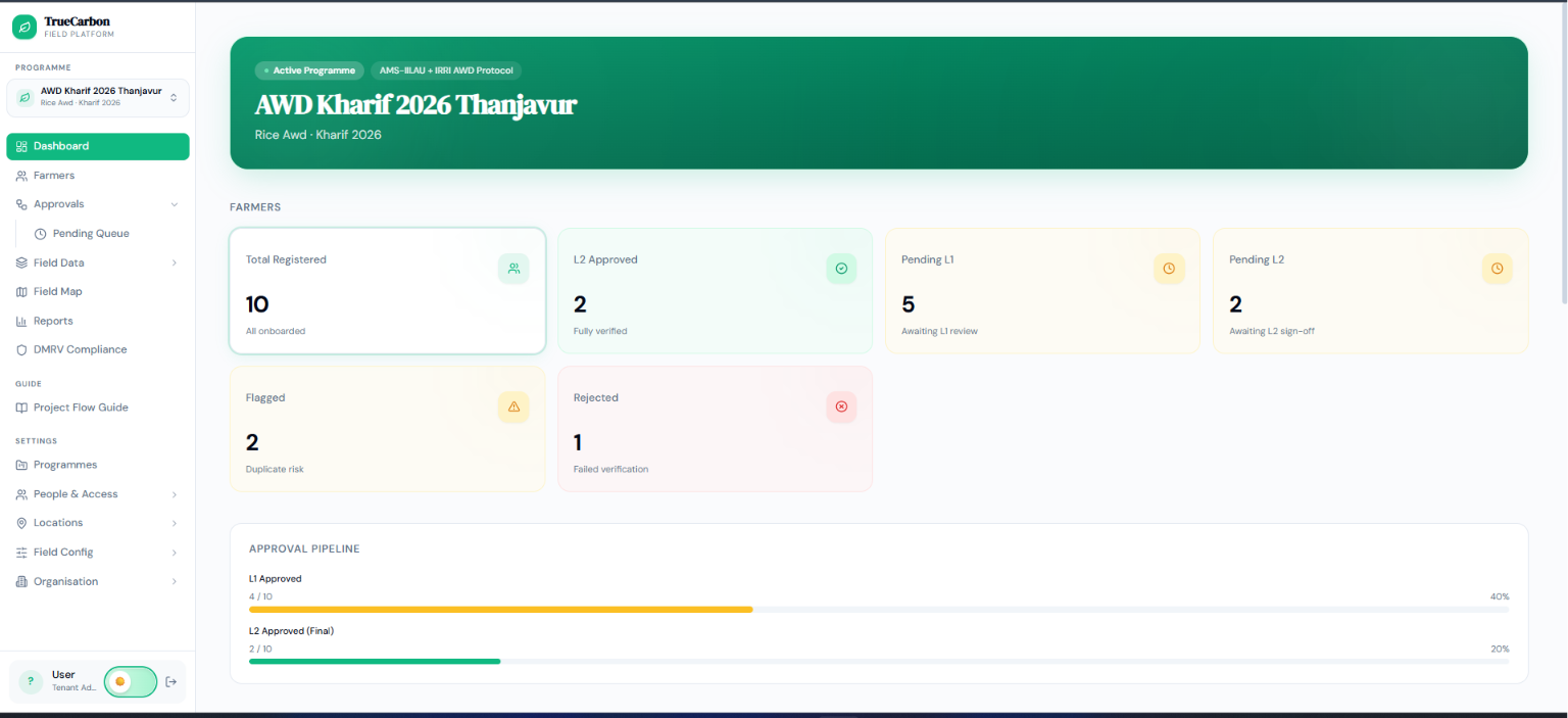
Approval pipeline
Programme analytics
IllustrativeProgramme report
Illustrative

TrueCarbon replaces paper-based MRV with GPS-verified field data, geo-tagged photo evidence, automated verification workflows and registry-ready reporting — so credits issue faster, on evidence a verifier can trust.
Trusted by project developers, NGOs, enterprises, carbon registries and verification organisations worldwide.
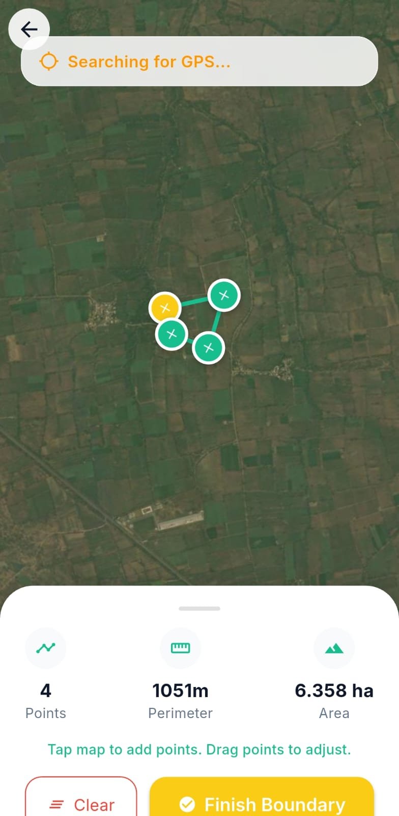
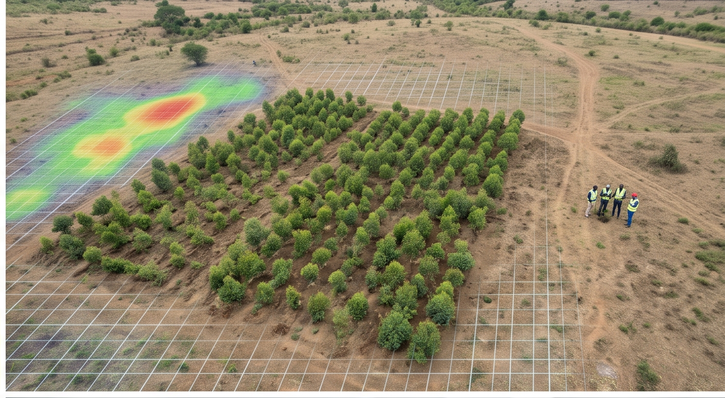
Every plot is digitally mapped and validated against high-precision GPS coordinates.
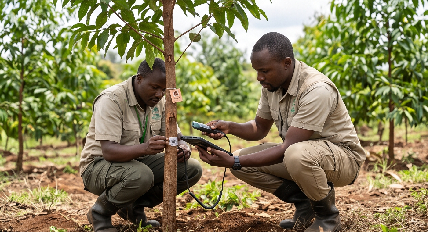
Timestamped, GPS-locked photos captured in-app — never uploaded from a gallery.
Automated validation and L1/L2 approval pipelines cut manual review cycles.
Audit-ready datasets aligned to leading carbon methodologies, export in one click.
Missing evidence, duplicate farmer registrations, untraceable plots and months-long verification cycles erode the value of every credit you issue — and delay issuance when you can least afford it.
TrueCarbon replaces disconnected spreadsheets with one Digital MRV platform where every field activity is GPS-verified, geo-tagged, L1/L2 approved and locked in an immutable audit trail.
Plots, AWD pipes, photos and sampling points all carry validated coordinates — captured, not typed in.
Duplicate detection, geometry validation and in-app-only photo capture close the gaps paper can't.
Plot ID 45B
Duplicate geometry detected
L1 and L2 sign-off before any record counts — every decision written to an immutable log.
Generate Excel, CSV and GeoJSON evidence packages your verifier can work with directly — one click.
TrueCarbon adapts forms, GPS validation, approval pipelines, evidence collection and reporting to every carbon methodology — while keeping one secure Digital MRV engine underneath.
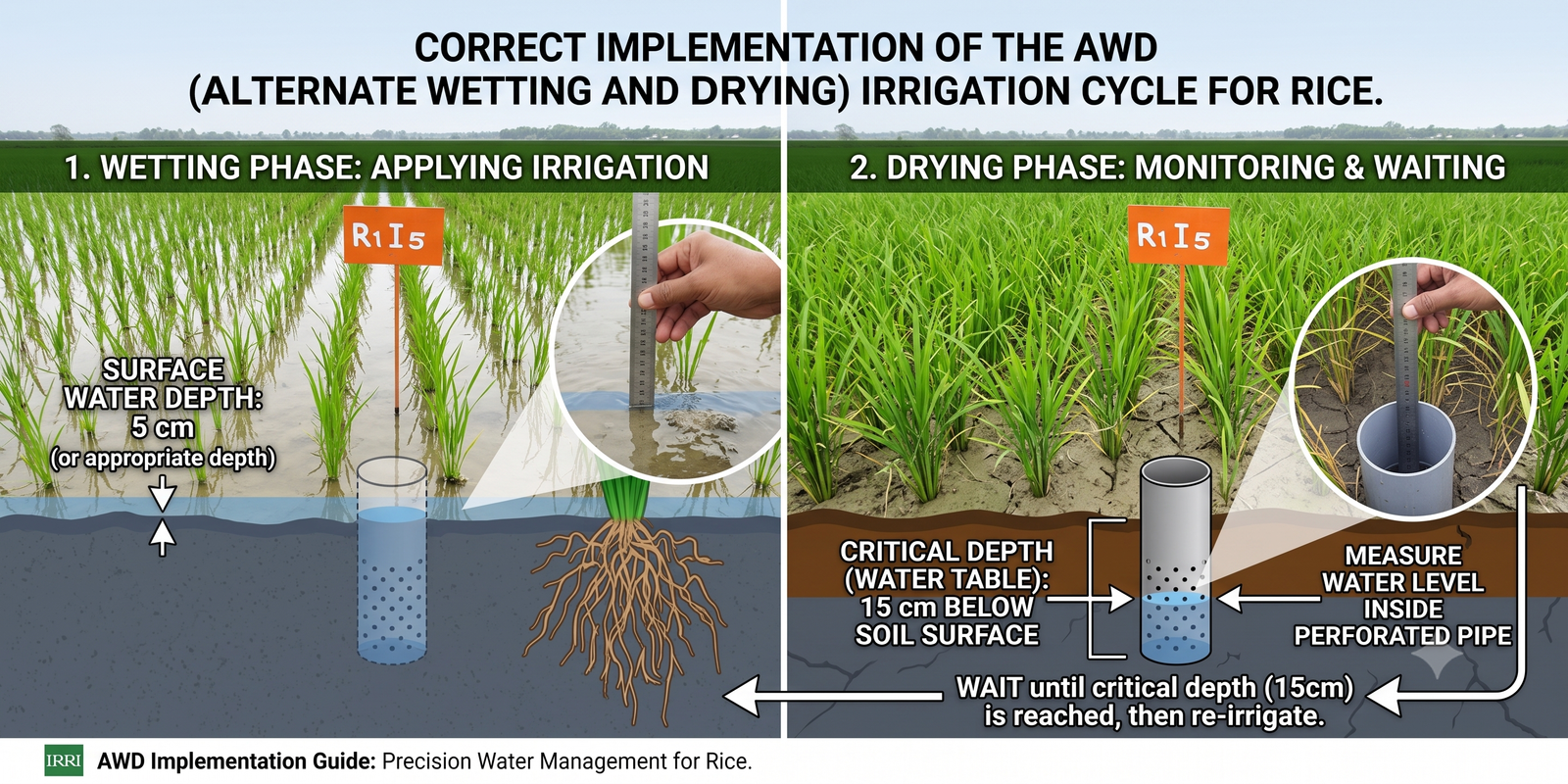
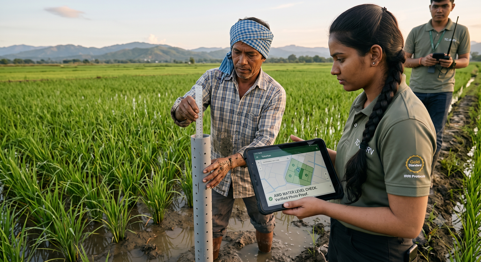
Digitise Alternate Wetting & Drying programmes end-to-end — farmer onboarding, plot boundaries, pipe installation and water-level events — with GPS-verified evidence at every step.
48%
less methane vs continuous flooding (IRRI)
30%
typical irrigation water savings
10M
pipe spacing enforced automatically
TrueCarbon dMRV · AWD Rice
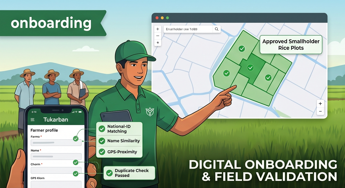
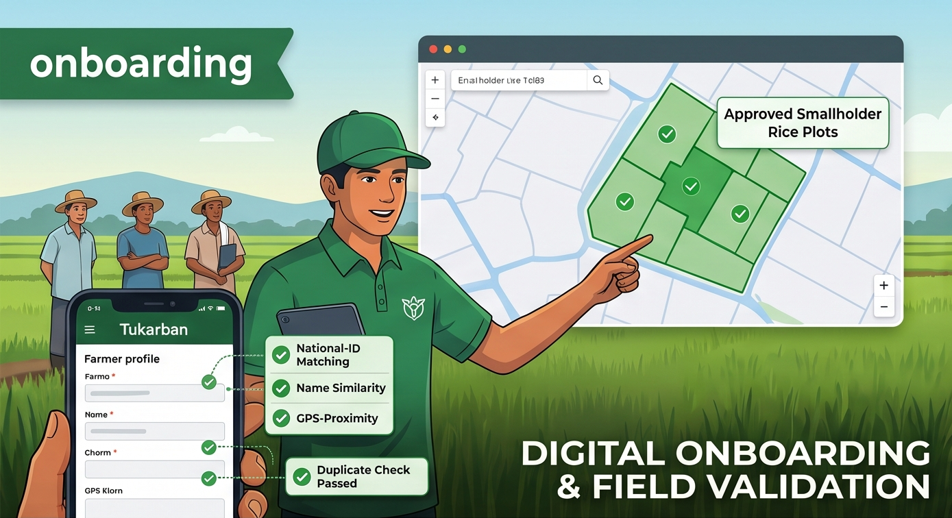
LiveFarmer registration with duplicate detection
National-ID matching, name-similarity and GPS-proximity checks flag duplicate enrolments before they pollute your registry.
GPS plot boundaries with overlap protection
Field teams walk the plot; PostGIS geometry checks reject boundaries that overlap existing plots by more than 5%.
Pipe installation with spacing rules
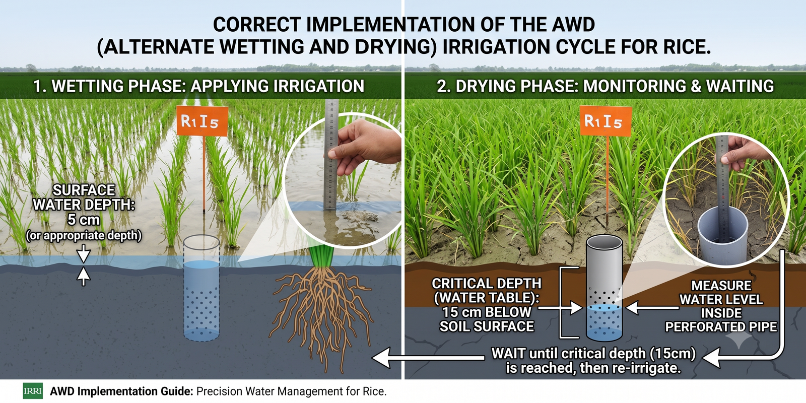
Every AWD pipe is geotagged. The platform enforces minimum 10-metre spacing and minimum pipes-per-plot automatically.
Water-level events with photo proof
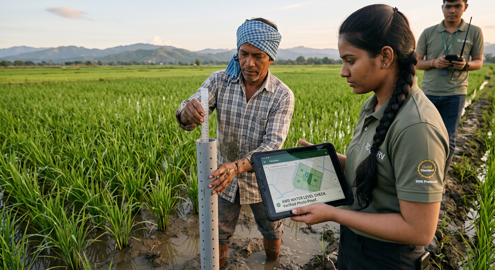
AWD readings are captured in-app with GPS-locked, timestamped photos — gallery uploads are rejected at the source.
Navigate every stage of the Digital MRV lifecycle — from methodology selection and field operations to verification, compliance and registry-ready issuance.
Digitise every stage of your carbon project — configurable workflows, GPS-verified field data, multi-level approvals and registry-ready reporting — all within one secure Digital MRV platform.
Set your methodology, field forms, GPS validation thresholds, approval rules and compliance requirements — no code, just the fieldSchema editor.
AWD Rice · Field schema
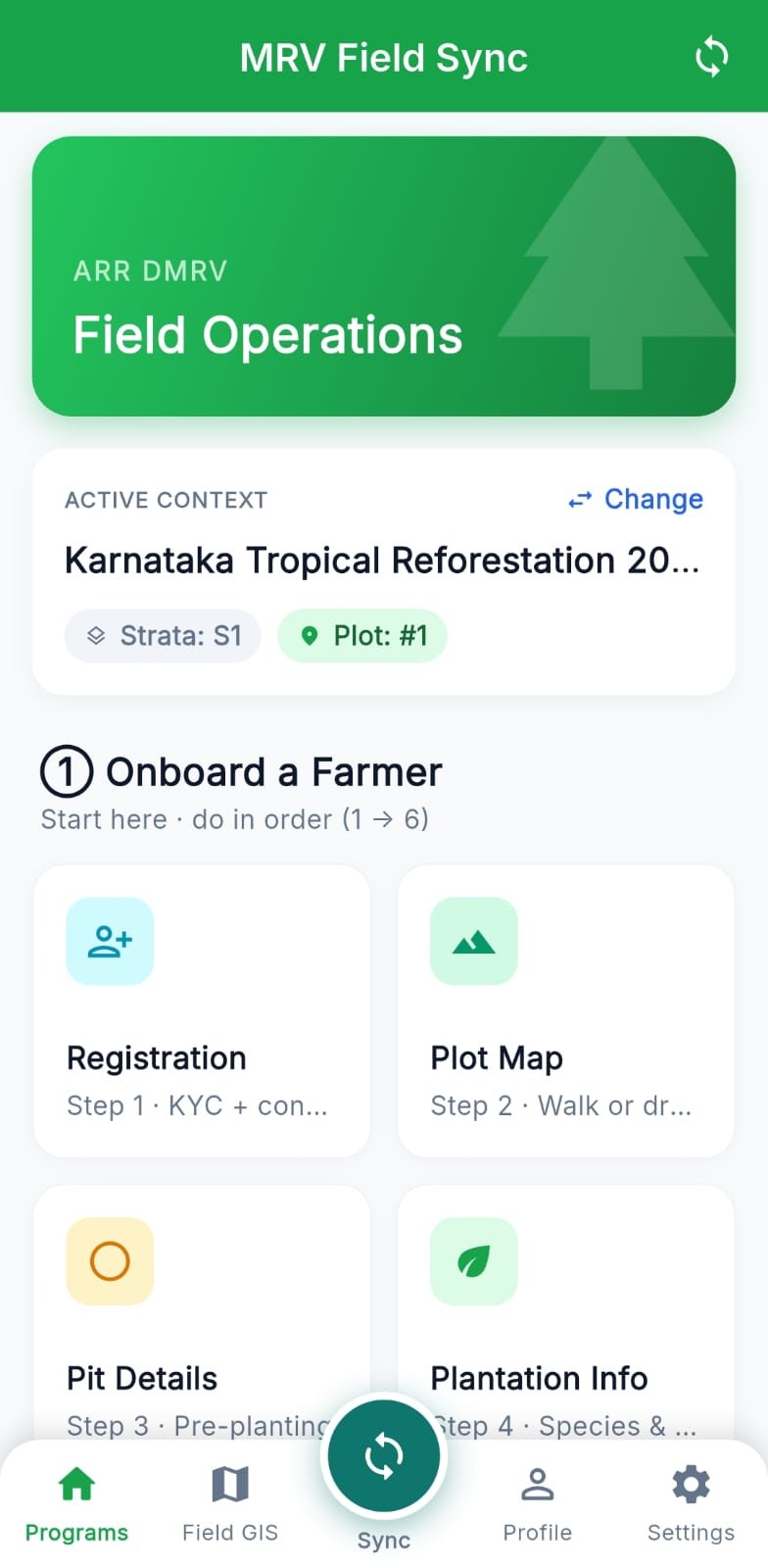
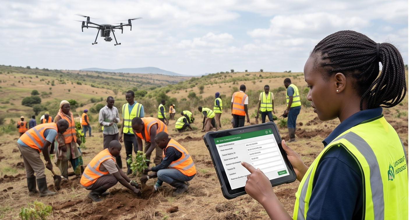
Register farmers, map GPS plot boundaries, capture geo-tagged photo evidence and log events offline — syncing automatically when signal returns.
Plot boundaries
GPS lockedRoute every record through configurable L1 / L2 approval workflows, with reviewer tracking and an immutable audit trail behind each decision.
Approval pipeline
Generate audit-ready CSV, GeoJSON and PDF reports plus complete registry submission packages — every number traceable back to a field event.
Reporting
ReadyIllustrative product UI — not a live dashboard.
Get a rough, ballpark credit range for your methodology in under a minute — not a correct calculation, a starting point.
Everything you need to know about dMRV, methodologies, and how TrueCarbon fits your programme.
dMRV stands for digital Measurement, Reporting and Verification. A dMRV platform replaces paper-based carbon project data collection with GPS-verified digital records, photo evidence, approval workflows and audit trails — so credits can be verified faster and with more confidence.
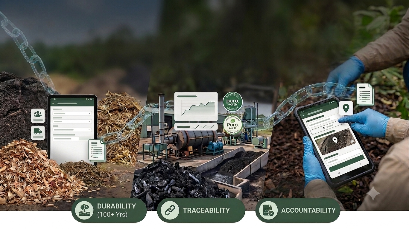
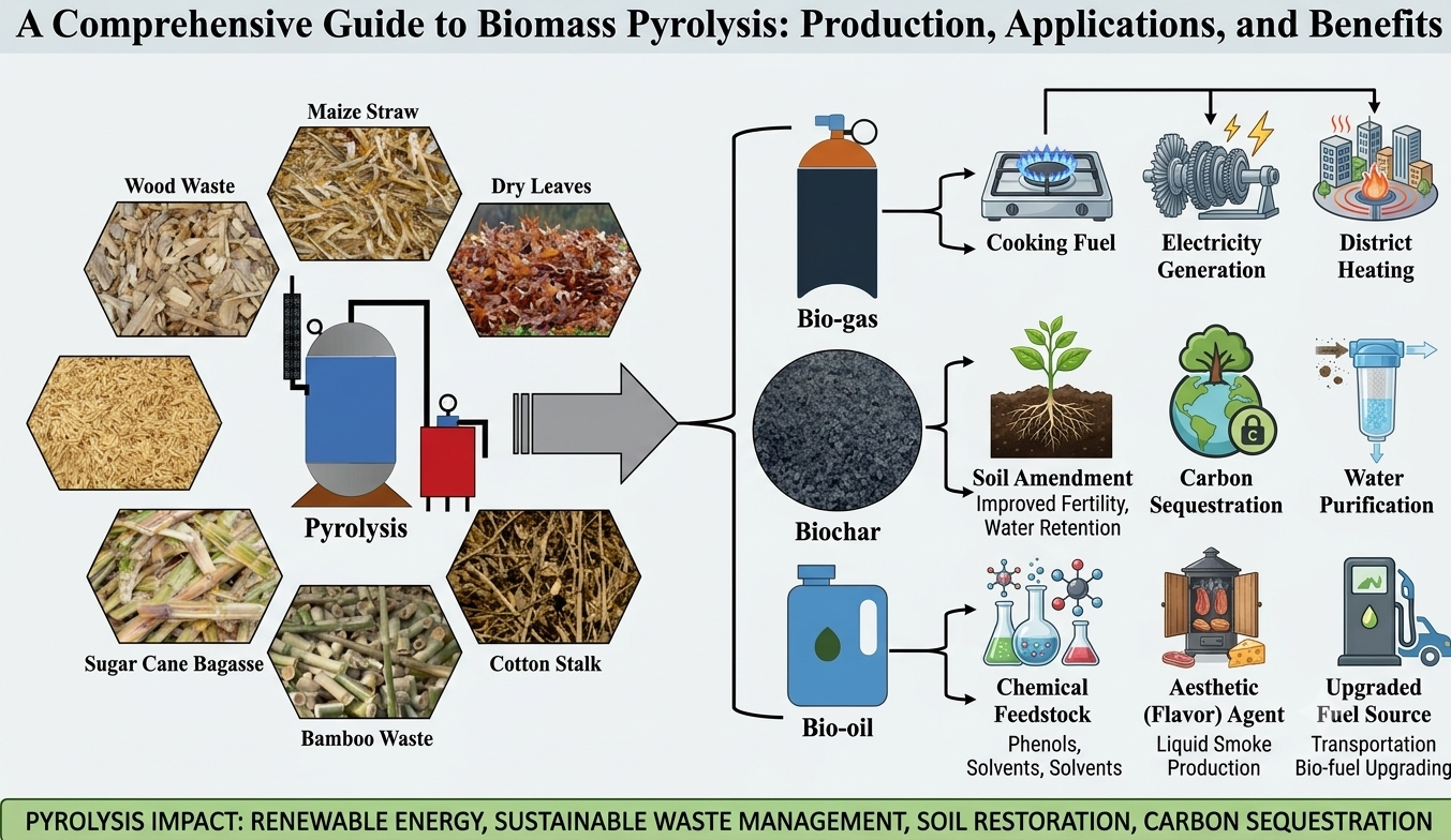
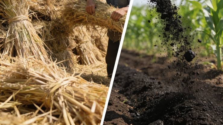
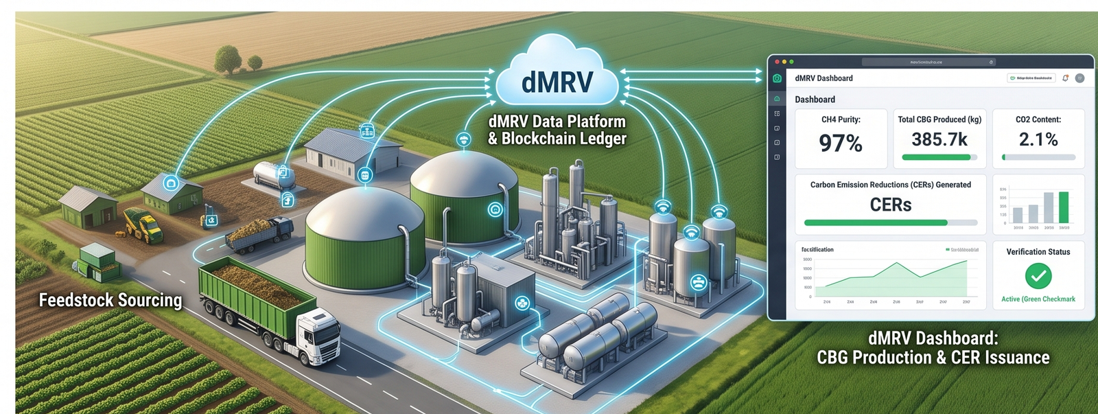
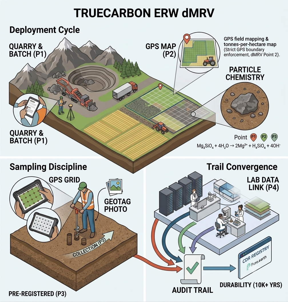
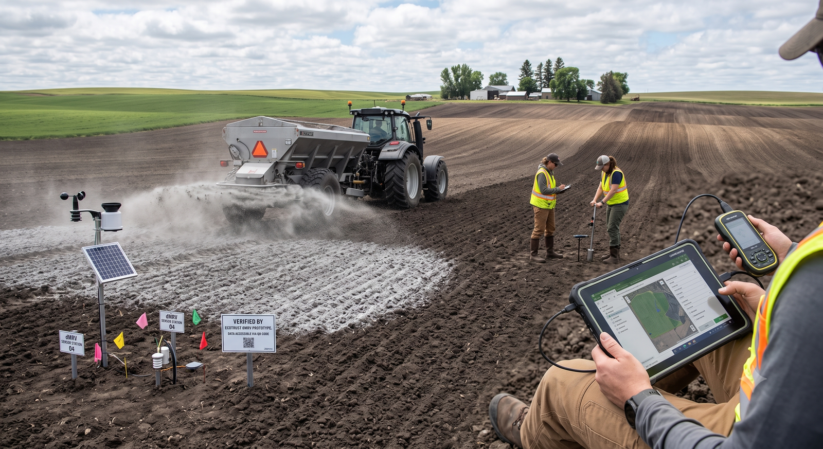
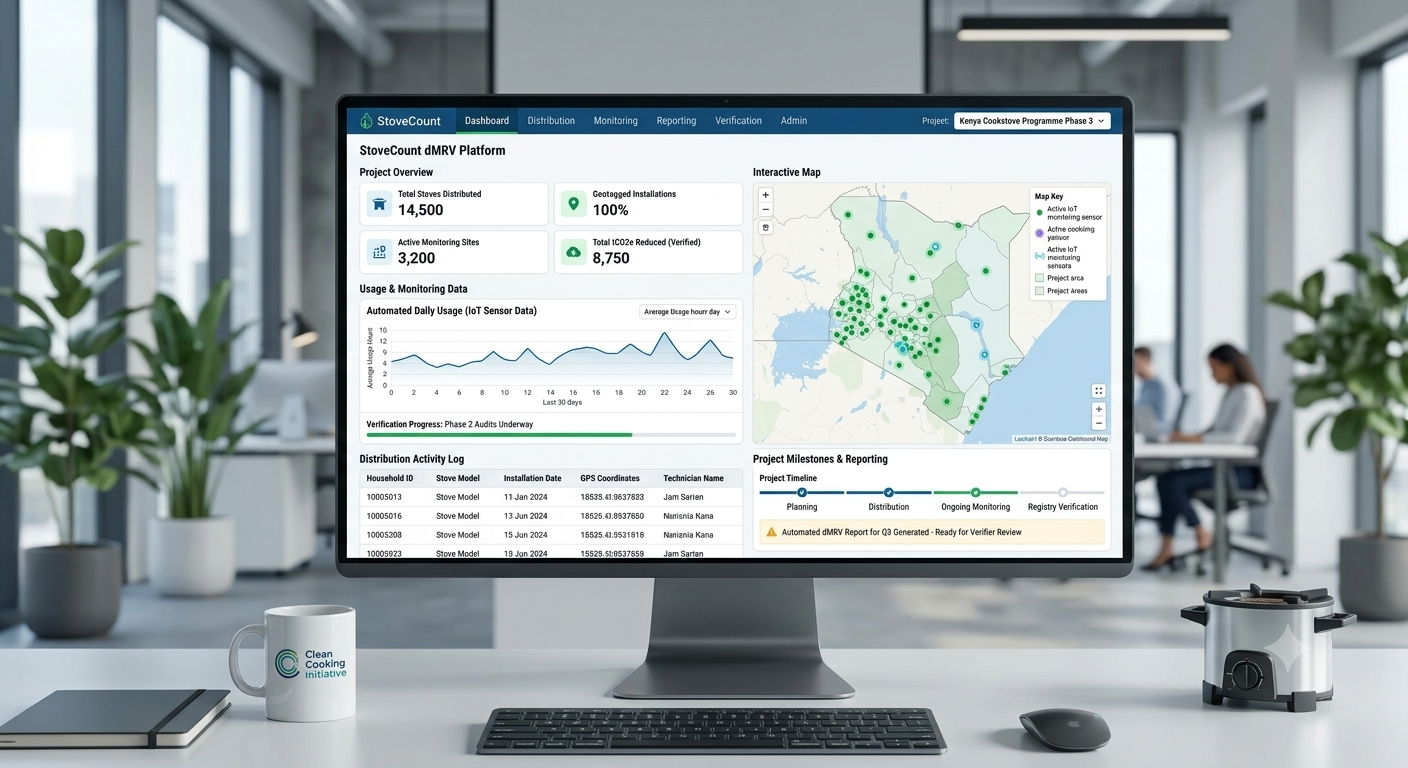
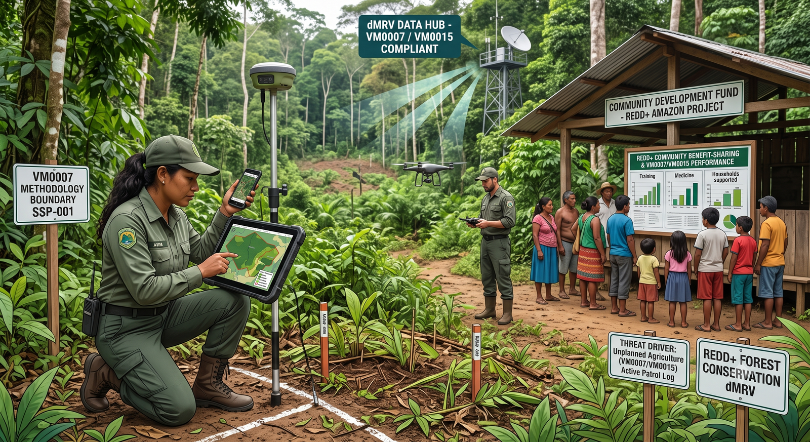
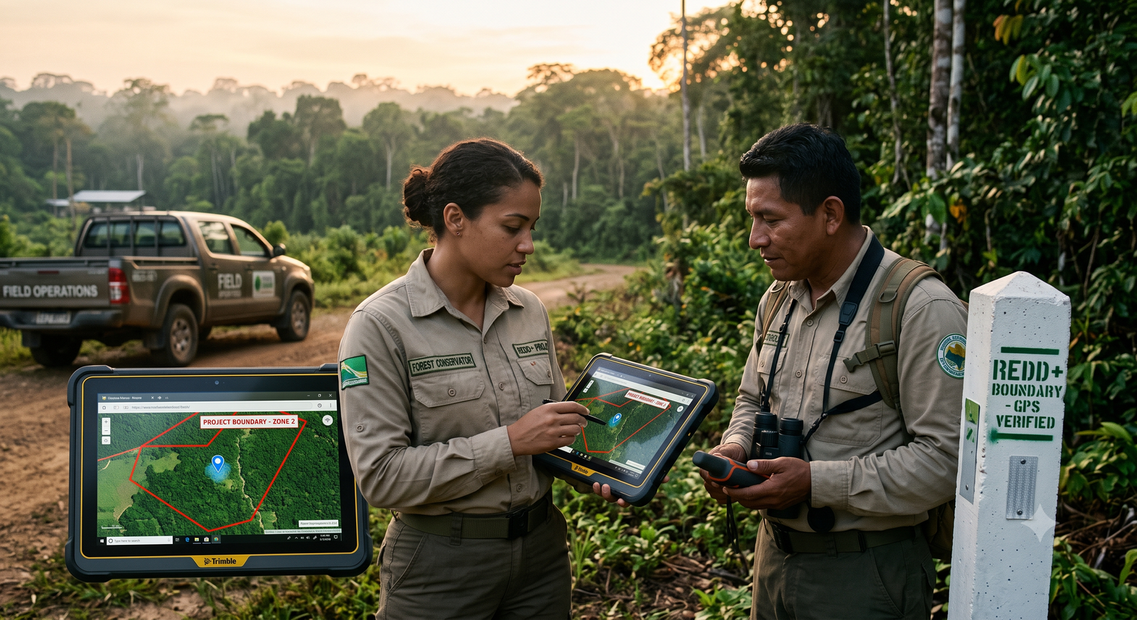
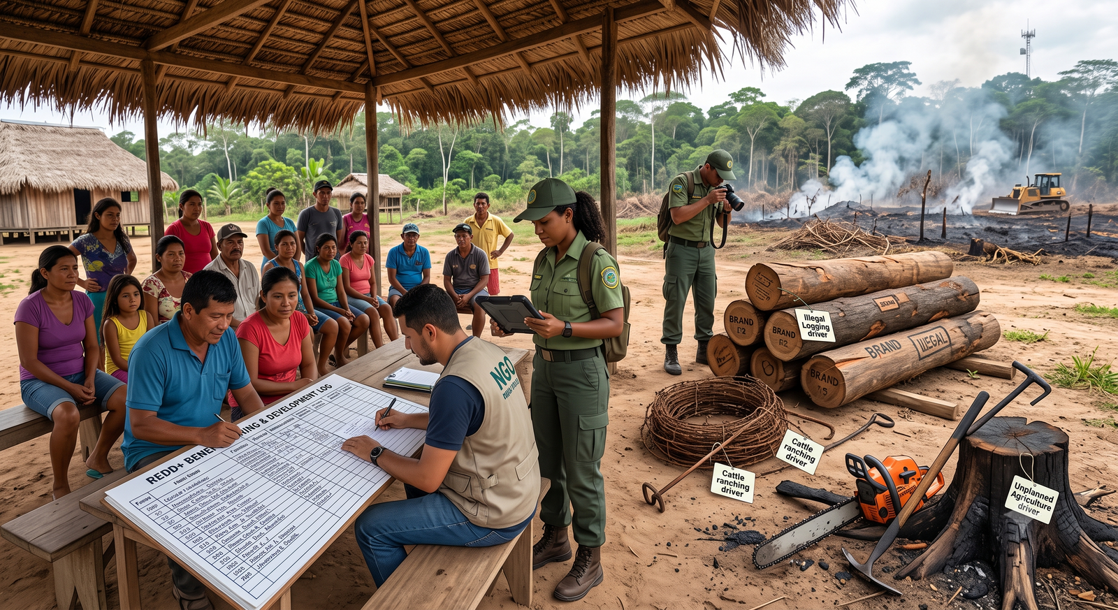
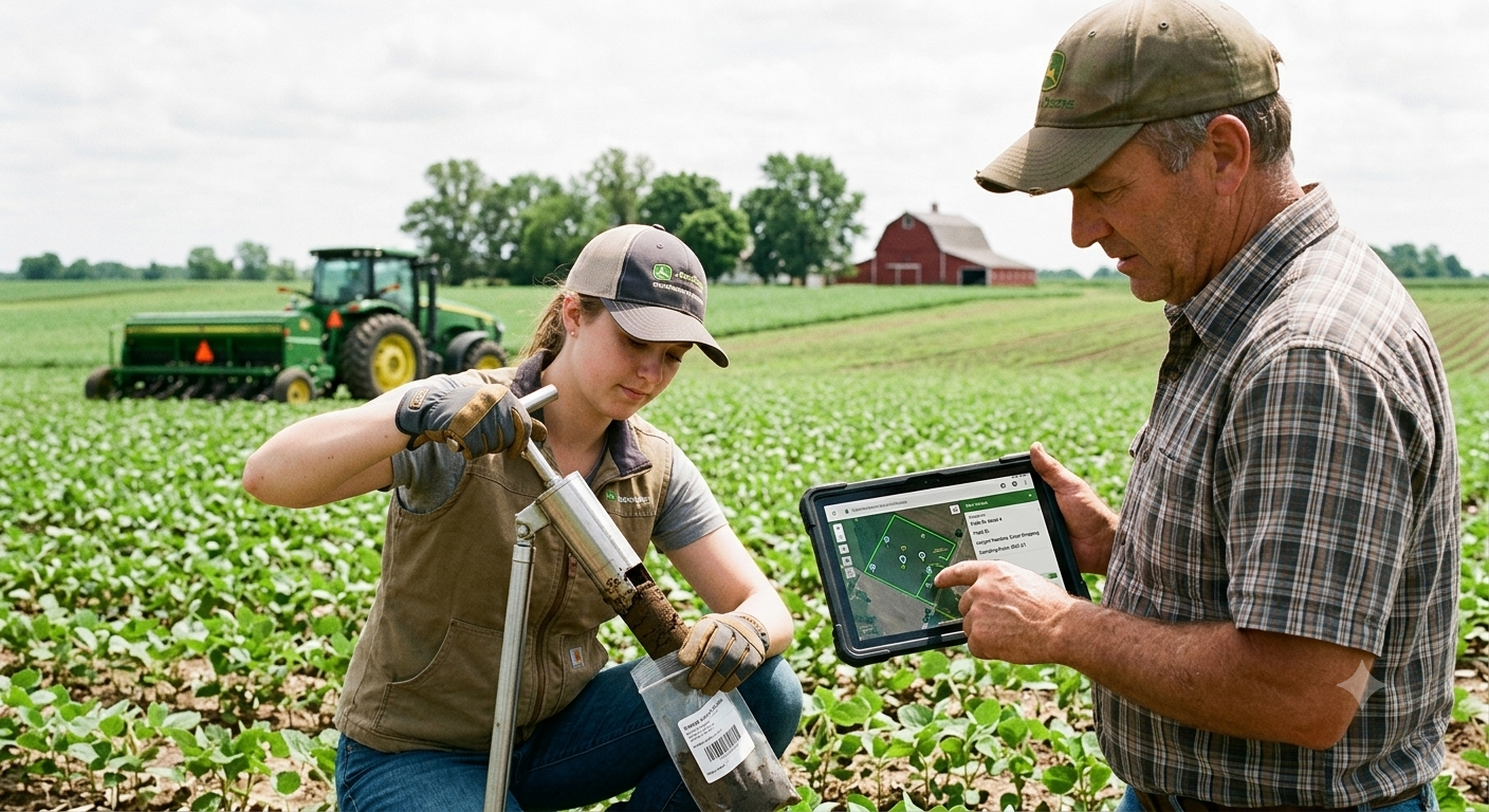
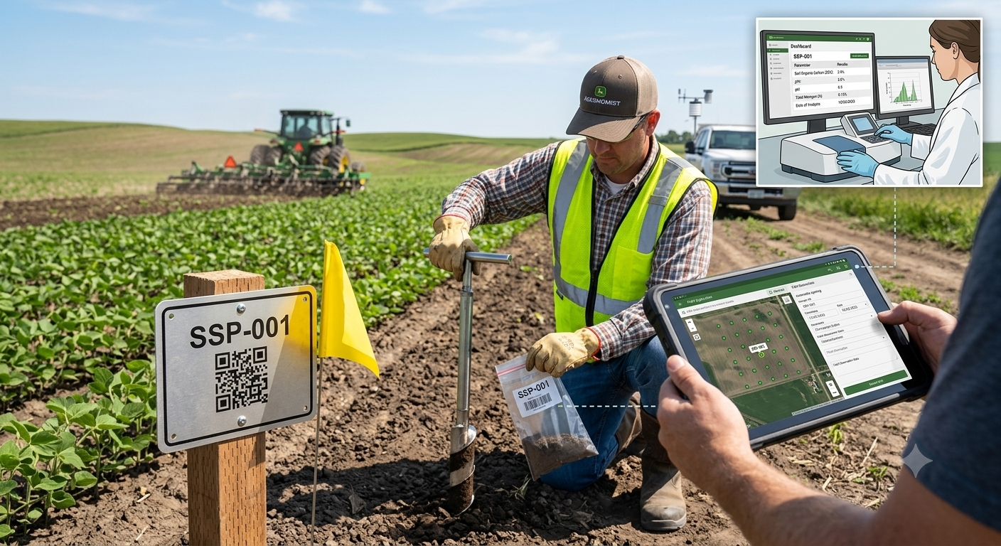
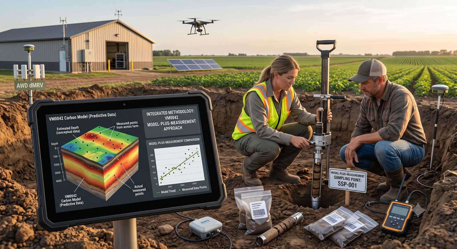
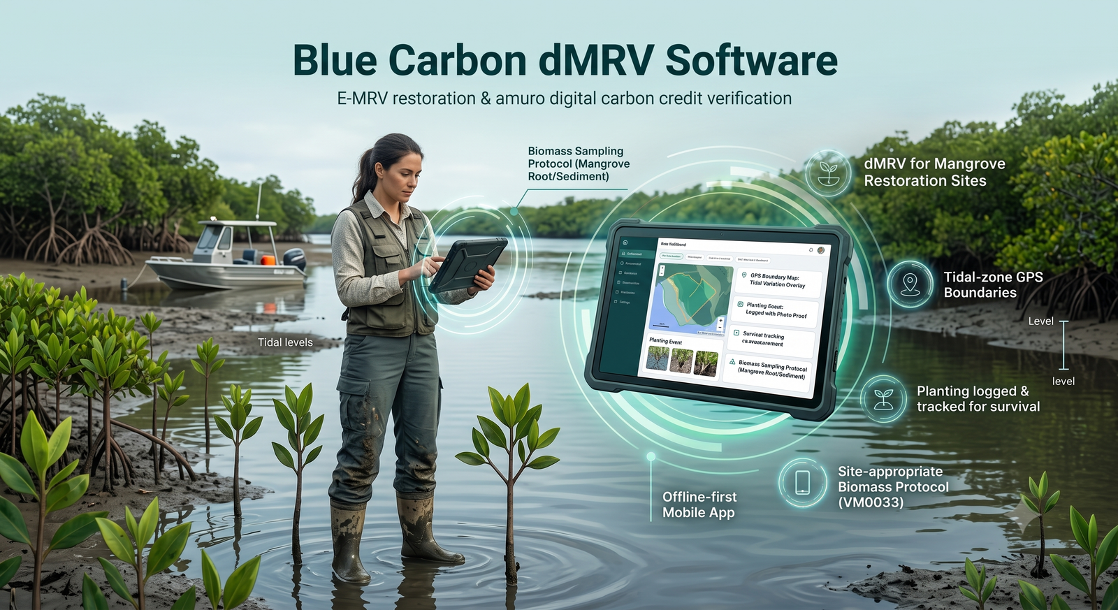
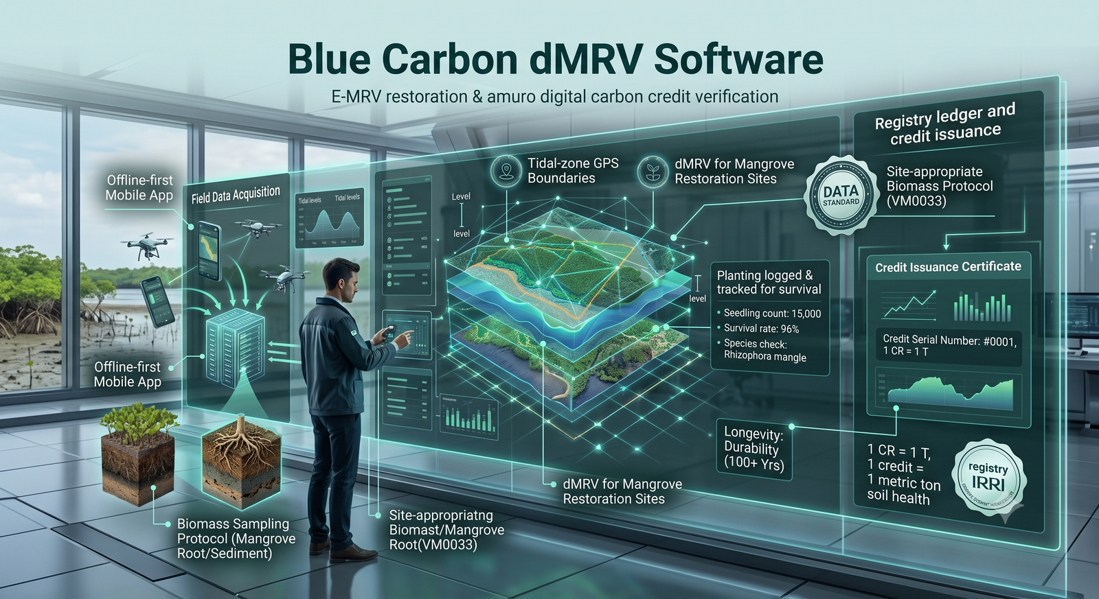
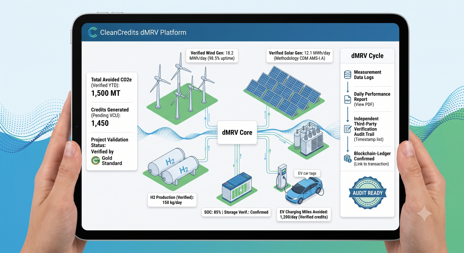
TrueCarbon supports AWD rice cultivation, afforestation/reforestation (ARR), biochar, compressed biogas (CBG) and enhanced rock weathering (ERW) today, with REDD+, soil organic carbon, clean cookstoves, blue carbon and renewable energy in the pipeline.
Yes. The TrueCarbon mobile app is offline-first — field teams collect data without connectivity and sync automatically when back in network coverage.
Photos must be captured in-app with GPS lock before the camera opens, EXIF GPS data is validated server-side, duplicate farmers are auto-flagged, plot overlaps are rejected geometrically, and every approval is written to an immutable audit trail.
Ready to start
Book a live walkthrough, or tell us about your programme below and we'll get back to you.
Or tell us about your programme — we'll get back to you
Book a personalised walkthrough and see how TrueCarbon digitises farmer onboarding, GPS plot mapping, geo-tagged field evidence, L1/L2 approvals, compliance and registry-ready reporting — all in one secure Digital MRV platform.


TrueCarbon web dashboard & offline-first field app